
Here are some important maps related to the British Empire. There is a brief description below each map:
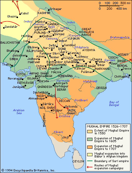
The Mughal empire from 1526 until its height in 1707. After 1707, it began to decay until its end in 1858.
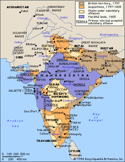
The first British expansion across India from 1797 until 1805, during the Napoleonic Wars.
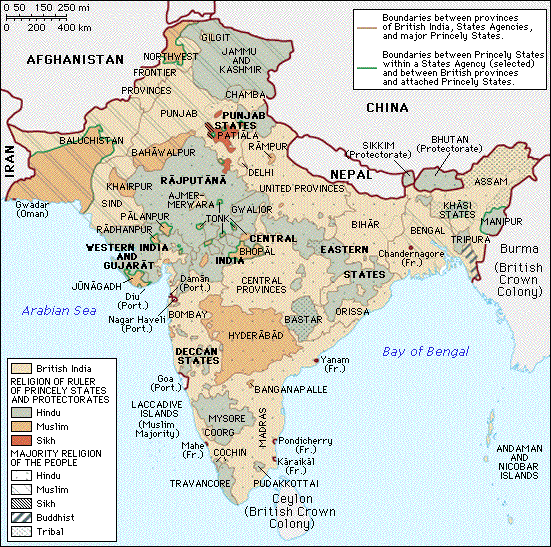
British India in 1935, 12 years before independence. Note the different religions and princely states.
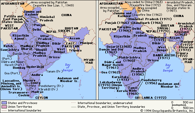
The reorganization of Indian states soon after independence.
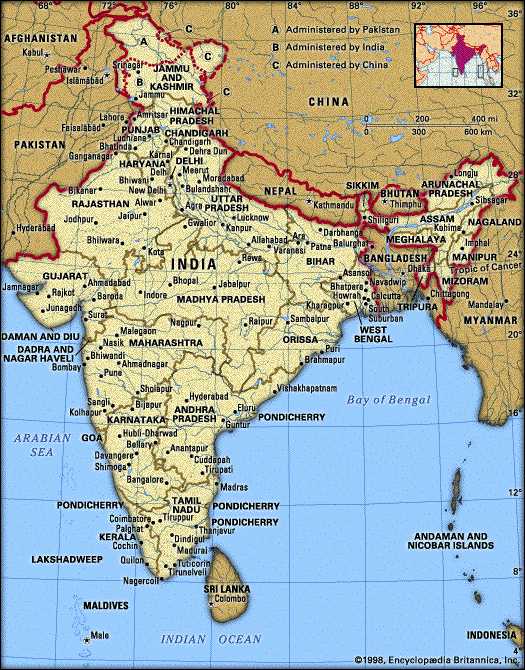
India today. The Kashmir region is still in dispute after half a century.
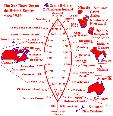
The British Empire across the world's 24 time zones. Most nations are now members of the Commonwealth.